
 (Start from top left and go clockwise)
We first drove south and drove around a nearby military base (one which is to be moved at some point to make way for this street) and down to Osoi-dong, at the southern end of Gimpo Airport. A large mound of sand makes for a good view of the airport runways...

...as well as a great place to play.

Plus there's the fun of having low flying airplanes come in for a landing.

We then went down the road a kilometer or so and parked near this field (though the photo was taken another time I went). What you see is actually Bucheon; if I backed up a few meters, I'd be in Seoul again.

There are still several farm roads winding through the fields.

This is a bit rustic, but hey, when you gotta go, you gotta go, I guess:

There were lots of people out in the field (as there have been for the last few weekends) picking minari, or dropwort. In the distance you can see apartment buildings in Bucheon's Wonjong-dong.

After walking around for awhile (and waiting for the person who parked their car behind us and boxed us in to answer their phone) I remembered seeing, on Google maps, a village south of the airport - in the north of Bucheon - that I'd never got around to visiting. Off we went. On the outskirts of the village is the Daejang branch of Deoksan Elementary School, where the kids played on the swings for awhile. The main branch of the school is a kilometer or so south, on the outskirts of the urbanized part of the city.

The village is part of Daejang-dong, and was once Daejang-ri. The school is just off to the right, on the other side of the river.

We drove through the eastern half of the village; here's a view of the western part:


Leaving the village, we headed north, into the surrounding farmland. Next to the roads were rice seedlings:

To the west we could see Gyeyangsan, in Incheon.

Below, looking east, beyond the fields you can see Gaehwasan (in Banghwa-dong) in the distance on the left, and the Gimpo Airport's control tower on the right.

I'm not sure what this river / canal's name is. I might call it canal because the northern part, before it reaches the Han river, was rerouted around Gimpo Airport when the runways were lengthened at some point in the past.

The same river, this time looking south.

This was taken as we crossed a bridge. On the other side was a strange concrete structure, possibly a guard tower.


On the west side at this point was a 'weekend garden,' where urban folks can rent a small plot and grow food. I was surprised to see that we had once again crossed back into Seoul.

This certainly caught my attention:

This is the 'worldwide headquarters' of Younggu Art, Shim Hyung-rae's company, which did the special effects for D-war.


A video showing the interior (briefly) of this dream (or nightmare) factory can be seen here.
We soon found our way out to a major road and headed home. Later on, I decided to search on Daum maps to see exactly where we had gone that day. At the location of Younggu Art and the weekend farm, something strange showed up on the map: "Ogok Elementary School." I thought this was odd, because we certainly did not see any school there. Suddenly, that school's name came back to me, and after some searching, I found the article where I'd seen the name before - about creating computer and multimedia classrooms for Banghwa Elementary School. The article notes that the funding for these classrooms came from the government, which gave the school money to merge with Ogok Elementary School in 1999. When I first found that article, I'd wondered where the school was, but never followed up on it. This time, I did a quick search on Naver and found this blog, which has several photos of that neighbourhood. The reason for this is that Ogok-dong is the blogger's home town. He has several posts with pictures of Ogok Elementary School taken several years ago, such as this one:

Reading his posts, we find that the school was opened in August 1972, and closed in March of 1999. Over 27 years 1092 students were taught there. Other photos reveal what has happened to the school since:

Why, the school was bought by... Younggu Art, refurbished, and turned into its worldwide headquarters. In the photo below, the building in the center, in the distance, is the former school:
A digression: May I suggest the track titled 'How I long' below?
What's quite interesting about the blog is that the blogger also posted photos of himself at school, on the day he started elementary school (here and here). I don't see such old, personal pictures posted very often in Korea for the purpose of showing how the landscape has changed (or maybe I just don't look enough). Anytime I meet people who have lived in Banghwa-dong for a long time, I usually ask if they might have photos of the area from 20 years ago, and the answer is always no. Of course, most people don't think to take photos of their own neighbourhoods - you wouldn't find many old photos of my parents' - or even my - hometown in my family's photo collection, for example - and when you mix this with the fact that cameras would have been a luxury for many people here 30 or more years ago, you end up with a situation where photos like the ones linked to above are not so common. You would usually have to find someone who had the urge to document their neighbourhood, which is not so easy the further back you go.
Oddly enough, in some ways, my great grandfather was one of those kinds of people - around 1910.

These photos - on glass plates - were discovered in a box in a barn years ago and printed by my uncle and grandfather. The photo above shows a friend of my great grandfather (in a boat my great grandfather likely made) in front of the boathouse he had on the Don River very close to the waterfront in Toronto. The photo below was taken near the house he built on Rhodes Avenue, which is now close to Toronto's center - but was then on the edge of the city, in the countryside. That's my great, great, great grandmother (she lived to be 93) next to my great grandfather's friend.

Out of all the photos I've seen in the family, my great grandfather probably documented much more of his life at that time than following generations, but that's probably because it was such a new technology at the time. But I digress.
What's even more interesting about the aforementioned blogger is that there are several photos of his neighbourhood as a child. One photo is of him in front of his village (likely taken close to that strange concrete structure/guard house), and another is in front of his house. Very cool.
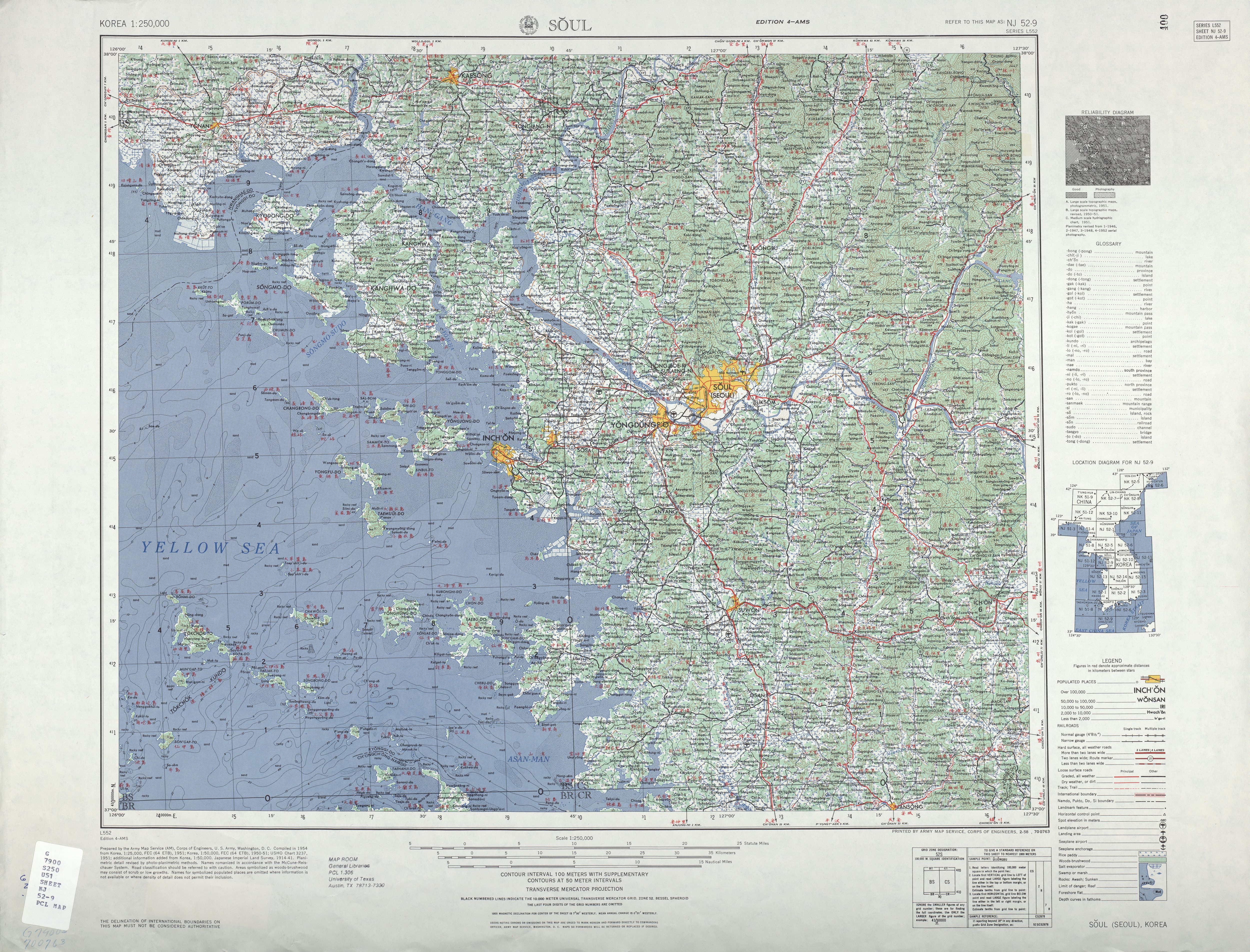
I was curious if the village might be on an older map, so I looked at this one.

The location of the village on that map seems to be Norume. According to the only 'cafe' option when you do this search, Norume was also known as Jangsan-ri. A closer look, using this map of Kimp'o Airbase (likely from the 1960s) shows Norume and Ogong-ni (Ogok-ri). While the area of the village is known as Ogok-dong, it's clear from the map below that Ogong-ni would have been paved over by the widening of the airport at some point, so the location of Norume would seem to be correct.

It's entirely possible that this village seen looking west towards the previously photographed Gyeyangsan (known to U.S. soldiers at Kimpo Airbase as 'the witch's tit') is Norume - the same village the blogger was photographed in front of decades later (after the Saemaeul Movement had replaced all the thatched roofs with tiles or metal).

 Photo from here.
You may ask yourself, 'Why is it hard to be sure of what the village's name once was?" The answer to that is related to the reason that Ogok Elementary School closed. The village no longer exists. In this older photo (from here), you can still see traces of the village:

In this more recent photo, there is almost no trace of the village:
 (note also the now non-existant Gwahae-dong residents' center)
This drawn map on the blog shows what the village would have once looked like. The school is on the other side of the river.

In the background of this photo is where the village once stood:
The commenters on the blog also seem to have grown up in or visited the area, and looking through the old photos and reading the posts, you really get a sense of the nostalgia they have for a place which is some ways no longer exists . Considering how much Korea has changed - and keeps changing, and how many neighbourhoods are being demolished on a daily basis, there must be a lot of people who have experienced this. At least in Ogok-dong, the countryside remains the same, unlike areas that get razed and replaced with apartment blocks, so I imagine there's less of a sense of the disconnect Yang Kwija described in "Cold Water Pass," the last story in A Distant and Beautiful Place:
My hometown was almost unrecognizable to me now. If not for the road signs visible from the express bus that I took to attend my father's memorial service in Chonju once a year, I wouldn't have known where I was. The family home was completely different now, alone amid the inns and stores that had sprung up after the roads were widened. In fact, the old house had been torn down and replaced by a western-style home, and the lot had long been conveted by a man who wanted to build a motel. After the stream that ran in front of the house was covered by a road, our neighbourhood was rapidly incorporated into the city. The transformation was complete with the rerouting of the railroad tracks. The old neighorhood was gone.At our first stop of the day, in the fields of Osoi-dong where planes fly overhead constantly during the day, the erasing of another rural neighbourhood is almost finished taking place. One of the empty houses can be seen below:

I'll save that neighbourhood for another day, though.
(The title of this post is taken from Kim Ki-chan's book of the same name which I looked at here three years ago.)
5 comments:
The story of the lost village was quite touching and reminded me of this great Francoise Hardy song about the loss of her childhood village...
http://www.youtube.com/watch?v=5eXkowmXiUM
Brilliant post..
makes me want to walk around a bit more, but I'm not sure how I could rival your cartographic abilities. ;-)
You might want to check out Sweet Juniper at http://www.sweet-juniper.com/
Interesting!~
Anonymous:
Thanks for the link. I'd never heard that song (and needed to read the lyrics to understand it - my French listening skills are non-existent) and enjoyed it.
rwellor:
Thanks. Walking around more is always a good idea. I'm lucky to live close to the countryside, where there's not so much traffic and biking is quite a bit safer.
MKM:
Very cool blog. Thanks!
Hi. Blog.naver.com/newface3385 owner of the interest is a person who lived in gwahaedong. Photo report goes well. Thank you for publishing this article. I do not proficient in English. (newface3385@naver.com)
Post a Comment